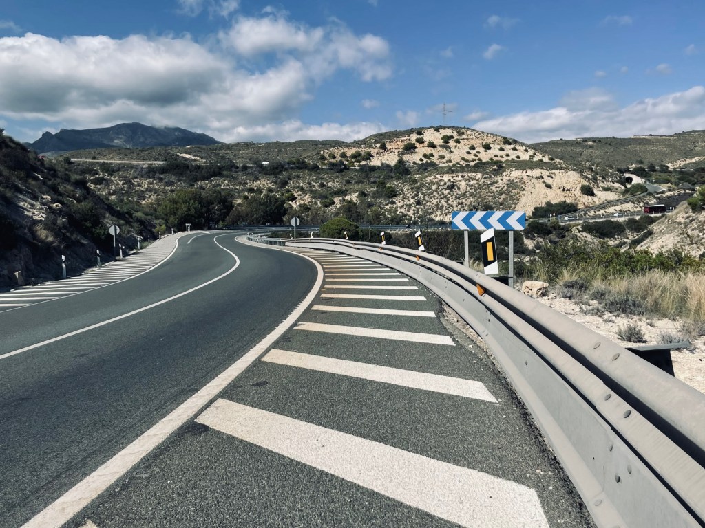
We are just back from a 10 day mini-tour in the Algarve and Alentejo, Portugal. Brilliant trip, wonderfully quiet roads, dramatic Atlantic coast scenery and kindness and a warm welcome everywhere we went. One wee ‘operator error’ crept in, however: I hold my hands up – all my own fault.
I created a set of GPX files for our Garmin Edge 800 before going, using Map My Ride on my Apple iMac before leaving. On the very first day we ran into trouble with the first of these routes. After 15 glorious K of complicated navigation on very remote roads north of Messines we were directed to, ‘take the unpathed road’ to the right – and spent the next 20K battling up and down the roughest and remotest track imaginable. We were on a track gouged into the hillside to service the radio masts built at the top of each summit. No hamlets, no farms, no civilisation, nothing. No shade. Wonderful if on a planned trip off road on the right bikes, but hardly what you want to be doing on commuter bikes with road tires and luggage for a week or more. It made for a hot and sticky day and a certain amount of tension on the team! There is a solution, however: read on.

Overnight I realised my mistake. Sitting at a 27 inch iMac, and determined to avoid major roads, I had zoomed in to a degree that showed up every house drive, dirt track and worse – all unaware that I was no longer dealing with ‘proper’ roads. Zooming out just a little brought up roads with numbers and villages. So each night thereafter we used Google Earth to check what we were getting ourselves into for the next day. In passing I might say, the Garmin never missed a beat and always knew where we were and prompted us onto the right ‘track’ at every turn. Without it carving a path for yourselves would have been very difficult. In that sense it was very reassuring. Unfortunately, it could not keep an idiot from himself! A lesson hard learned!


Leave a Reply